Detect potholes. Improve roads. Make travel safer.
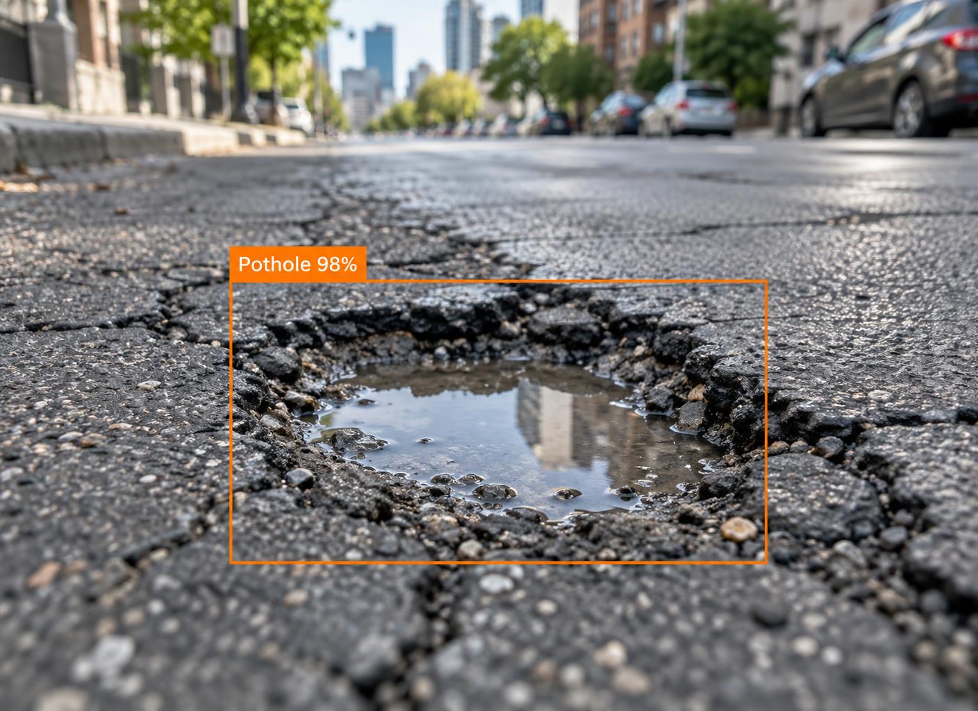
Upload a photo of a damaged road and DriveSafe Vision generates a pothole report complete with severity classification, GPS location, estimated dimensions and annotated image evidence — then tracks it until the road is repaired.
Severity is estimated by AI from the photo — an inspector confirms it on site.
How it works
Four steps from spotting a hazard to seeing it fixed.
- 01
Upload an image
Add a photo of the damaged road surface.
- 02
Analysis runs
The detector locates potholes and estimates their size.
- 03
Submit the report
Attach your location and send it to road maintenance.
- 04
Track resolution
Follow the status from review through to repair.
Key features
Built for citizens reporting hazards and the teams that fix them.
AI-assisted detection
Potholes are located and outlined on the image.
Severity classification
Low, Medium, High or Critical, based on size and count.
Automatic location capture
Browser geolocation, with manual address entry as a fallback.
Annotated evidence
Original and annotated images are stored with every report.
Status tracking
A clear timeline from submission to resolution.
Admin review workflow
Administrators triage, note and resolve every report.
What coordinated reporting achieves
Illustrative programme figures shown as sample data.
- Reports submitted
- 12,480
- Potholes detected
- 31,207
- Reports resolved
- 9,860
- Average response time
- 4.2 days
Help make your roads safer.
Create a free account and submit your first report in minutes.